
The American construction industry is healthy and growing, responding to a need for more homes and critical infrastructure. Data centers, chip fabs, battery plants, and reshored manufacturing are reshaping the non-residential pipeline, while federal infrastructure dollars keep highway, bridge and port work moving. But with growth comes a lot of challenges: a persistent skilled labor shortage means teams are covering more ground with fewer people, on tighter margins, with less room for surprises.
That puts pressure on something most projects still handle informally: knowing what is actually happening on site on a regular basis. The industry has adopted increasingly sophisticated tools to design, model and manage projects, but the way teams visualize their site has barely changed: a survey crew visits once a quarter, or a superintendent walks the site each morning with a phone. Between those snapshots, changes happen without anyone noticing … until they surface as a missed milestone or an on-site incident.
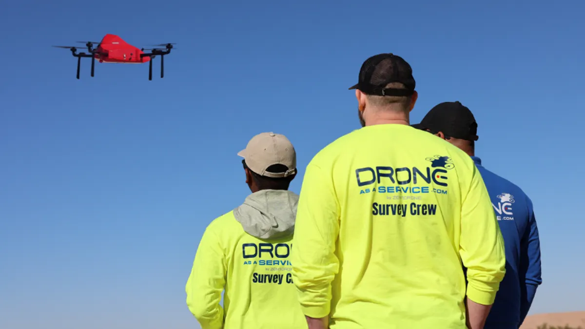
Emerging technologies, like drones, have brought some much-needed improvements to help teams stay on track: reduced inspection time, more frequent data collection, safer surveying, and better insights than traditional methods. While some contractors attempt to build an in-house drone program, that means significant investment in hardware, pilot training, and FAA compliance. Others instead turn to Drone as a Service, an end-to-end aerial intelligence solution that lets contractors, engineers and building owners subscribe to recurring aerial data collection.
Catching errors before they become expensive
A drainage conflict, a misaligned grade or a discrepancy between as-built and design is less expensive to fix when caught early. When caught later on, the same issues produce rework, change orders, and stalled schedules that erode margin fast, plus indirect costs like investigation delays and schedule ripple effects.
In the early stages of construction, drones carrying LiDAR and high-resolution cameras can be used to capture 3D point clouds and create orthomosaic maps. This process generates terrain models that support cut-and-fill calculations, boundary definition, and site planning. During construction, those models help track grading, drainage and earthwork volumes, while regular subsequent drone flights document work progress and support site security.
A drone’s speed matters as much as sensor capability. A traditional ground survey of a 20 to 40 acre site can take a crew several days to two weeks of fieldwork, while a drone can survey the same site in less than a day and provide the data needed to build a usable model in 48 hours. Because flights are fast and repeatable, teams can fly more frequently, which turns survey data from an occasional snapshot into a running record that lets project managers catch an error before a week of work is built on top of it.
Keeping people away from hazardous zones
Traditional surveying also has workers walking near open excavations, unstable slopes, and moving equipment, while manual inspections send people up scaffolding, onto roofs, and inside confined spaces. All these tasks create additional risks for onsite personnel.
Autonomous drone flights capture better vantage points and survey-grade measurements without anyone entering a hazardous zone. Over a project's life, that means fewer exposures to fall risk and heavy-equipment traffic, and fewer incidents carrying medical claims, insurance premiums, and downtime.
One source of information for builders, engineers and owners
Drone as a Service gives contractors a consistent, scalable way to turn real-world site conditions into decision-ready data without the cost and complexity of building an in-house drone program. By managing everything from licensed pilots and FAA-registered aircraft to data processing and delivery, the service replaces fragmented, subjective site updates with reliable, actionable intelligence.
Data can be collected in hours, delivered within days, and integrated directly into the management platforms teams already use. Project managers get defensible reporting, engineers get clean, CAD-ready data, and field workers get full-site visibility without added risk. Because drones produce precise, time-stamped, geo-referenced data rather than a vague update, they also strengthen the reporting a team hands to clients, lenders and executives.
For companies looking to improve their operations, reconciling design plans with reported progress and actual site conditions is becoming a competitive necessity, and drones are emerging as a powerful tool for bridging that gap.
To learn how drones can help elevate your business with faster, more cost-effective, and safer inspections, visit droneasaservice.com.