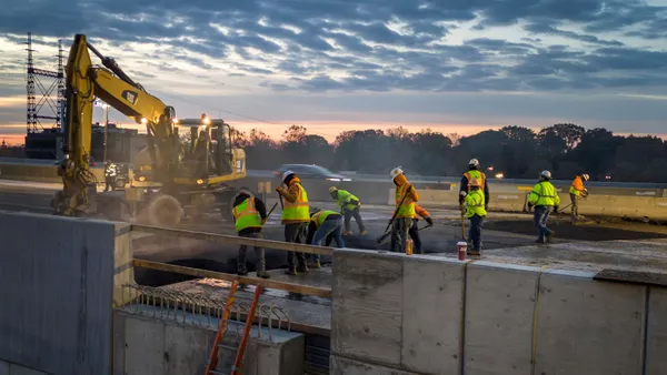

Walk most jobsites and you still see the same thing: crews juggling emails, spreadsheets and static drawings while trying to keep up with constant change. The industry has talked about digital transformation for years, but in the field, the gap between data and decision-making is still real.
Brasfield & Gorrie is proving that gap can be closed and not with incremental fixes.
The contractor has taken a different path by putting location at the center of its operations. Instead of treating data as something that gets passed around, it treats data as something everyone can see, understand and act on in context. That shift is subtle, but the impact shows up quickly in how projects run.
At the core of the approach is GIS. Brasfield & Gorrie built a centralized platform to bring together information that is usually scattered across tools and teams. Utility networks, site conditions and environmental data are no longer buried in files. They are mapped, visualized and accessible in one place.
That alone would be a step forward, but the real change came when the company brought drones into the mix.
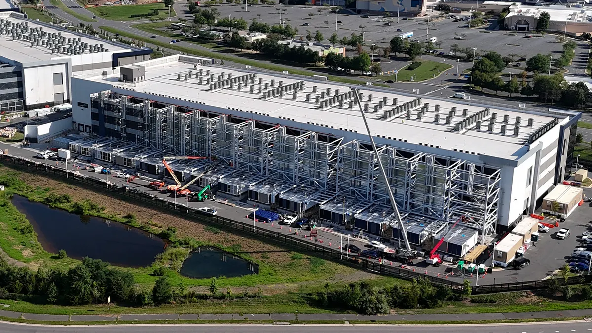
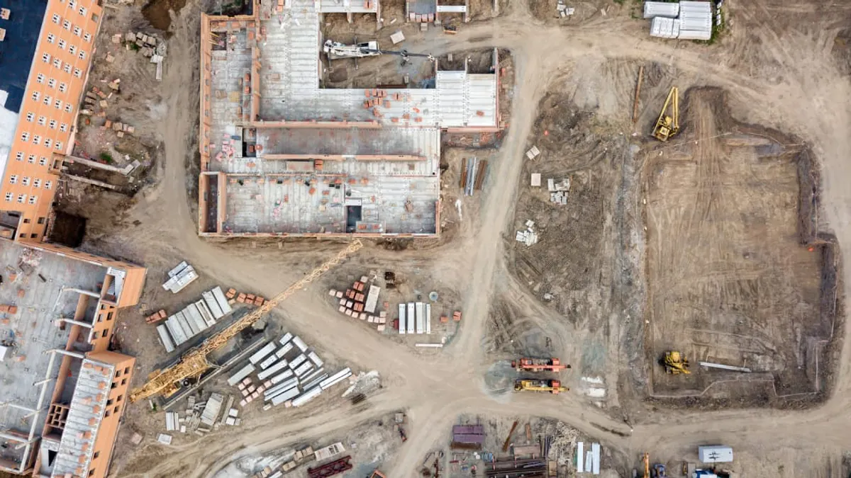
Drone imagery is not new to construction, but too often it lives in isolation as photos or progress reports. Brasfield & Gorrie pushed further by integrating that imagery directly into its GIS environment. The result is a living view of the jobsite that updates as conditions change.
This is where things get practical.
Field teams can pull up current site maps on their phones and see exactly what is happening, including subsurface utilities and site logistics. Office teams are working from the same information. Owners can track progress visually instead of relying on lagging updates. That level of alignment is hard to achieve with traditional workflows.
The safety implications stand out immediately. Utility strikes continue to be a persistent issue across the industry. By combining drone imagery with mapped utility data, teams can spot conflicts earlier and avoid costly mistakes before they happen.
There is also a clear operational payoff.
Teams can verify work in place, track progress with more accuracy and share updates without waiting on manual reporting cycles. Drone-derived models and visualizations give stakeholders a clearer picture of construction as it unfolds, which improves coordination and reduces ambiguity.
None of this works without integration and that’s where many digital efforts stall. Brasfield & Gorrie addressed that head-on by bringing everything into a single environment using tools like ArcGIS Online and Site Scan for ArcGIS. The goal is simple: one source of truth that connects field data, imagery and project context.
Just as important, the approach scales. The company is applying these workflows across a large portfolio of projects in different markets and regions. That consistency matters. It shows that this is not a pilot or a one-off innovation effort. It is an operational model.
For an industry that often struggles to move beyond fragmented tools, that is a big deal.
The broader takeaway is not about drones or software. It is about how construction teams think about data. When information is tied to location and shared in real time, it becomes far more useful. Decisions get faster. Risks become visible sooner. Teams stay aligned without chasing updates.
That shift is starting to define the next phase of construction technology.
Firms that continue to treat data as static documents will keep running into the same coordination challenges. Firms that treat data as a live, shared resource will operate differently.
Brasfield & Gorrie offers a clear example of what that looks like in practice.
If you want to see how they’ve built and scaled this approach across real projects, the full case study is worth a closer read: Explore the full Brasfield & Gorrie case study.