
From the earliest stages of planning to the long-term management of infrastructure and built assets, the architecture, engineering, and construction industry is beginning to see the impact of GIS + AI. This powerful combination of spatial intelligence and artificial intelligence is changing how projects are understood and delivered. By combining the where of GIS with the what of AI, GeoAI unlocks new ways to bring of efficiency, accuracy, and insight that are critical for an industry facing rising complexity, tight budgets, and increasing demands for sustainability.
What is GeoAI?
GeoAI, short for Geospatial Artificial Intelligence, brings together geospatial data like maps, imagery, and 3D models with AI techniques such as machine learning, computer vision, and predictive analytics. In the context of AEC, GeoAI is a practical and transformative toolset that helps teams make better decisions throughout the entire project lifecycle. Whether you’re working in preconstruction, design, construction, or asset management, GeoAI offers capabilities that help teams ask better questions and make better decisions:
- Where should we build?
- What are the risks?
- How will this project evolve over time?
AI Enhances GIS for AEC Workflows
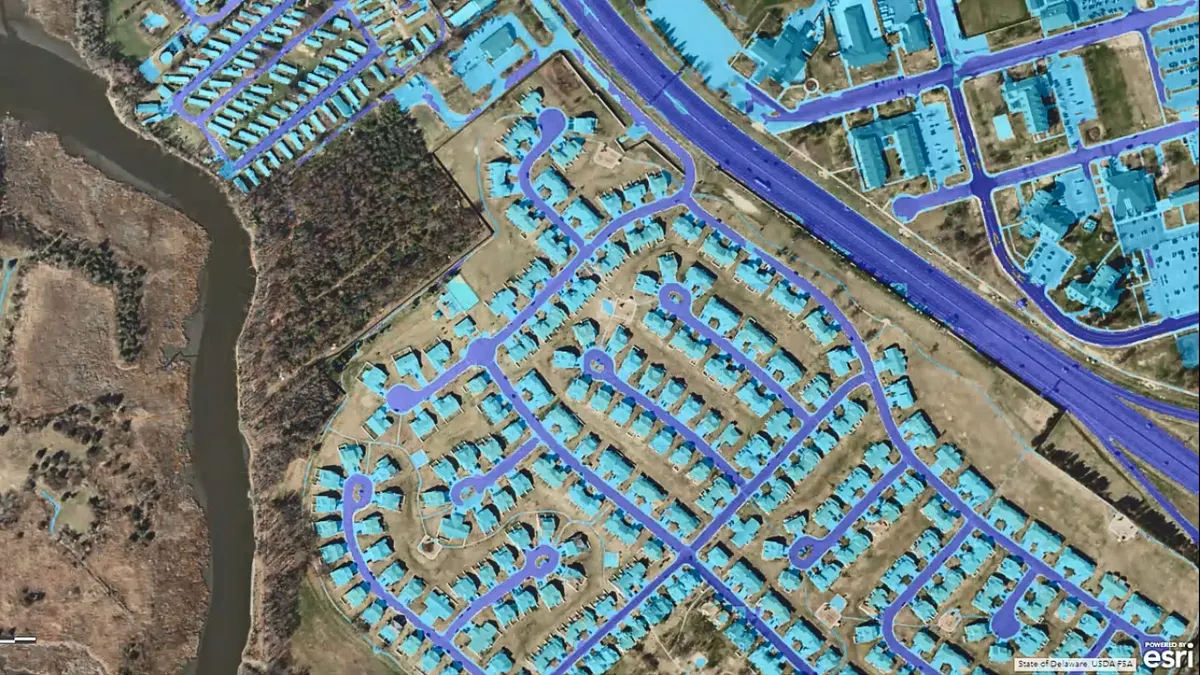
GeoAI isn’t a separate system, it’s an enhancement of the tools many AEC teams already use. AI is increasingly embedded in GIS solutions, unlocking advanced capabilities that transform static maps into dynamic decision-support platforms. AI can automatically extract features from aerial and satellite imagery like identifying building footprints, roads, or vegetation reducing the time and cost of site surveys.
GeoAI bridges the gap between traditional CAD/BIM models and real-world geospatial data. This allows teams to overlay designs onto real-world conditions, check for clashes, and assess environmental impacts. Historical construction data, weather patterns, and geospatial factors can be used to train models that predict risks, such as flood zones or landslide areas, enabling proactive mitigation strategies. GeoAI enables real-time risk assessment by analyzing vast amounts of location-specific data ideal for complex infrastructure projects where safety and regulatory compliance are critical.
Real-World Applications: GeoAI in Action
GeoAI is already delivering value across AEC workflows. Manual field surveys are time-consuming and costly. GeoAI tools can automatically identify features like roads, buildings, and vegetation from drone or satellite imagery. For example, state departments of transportation are using GeoAI to extract curb ramps, guardrails, and lane markings from aerial imagery, creating detailed asset inventories without sending teams into the field.
In utility construction and maintenance, knowing what’s underground is critical. GeoAI can process ground-penetrating radar (GPR) data and geospatial information to predict the location of buried utilities like water, gas, and telecom lines. This reduces the risk of strikes during excavation and helps teams plan safer, more efficient projects.
Agencies like FEMA and local governments are leveraging GeoAI to create predictive flood models by combining elevation data, rainfall patterns, and land cover information. For AEC teams, this means earlier identification of vulnerable areas, leading to smarter designs, better drainage planning, and more resilient infrastructure.
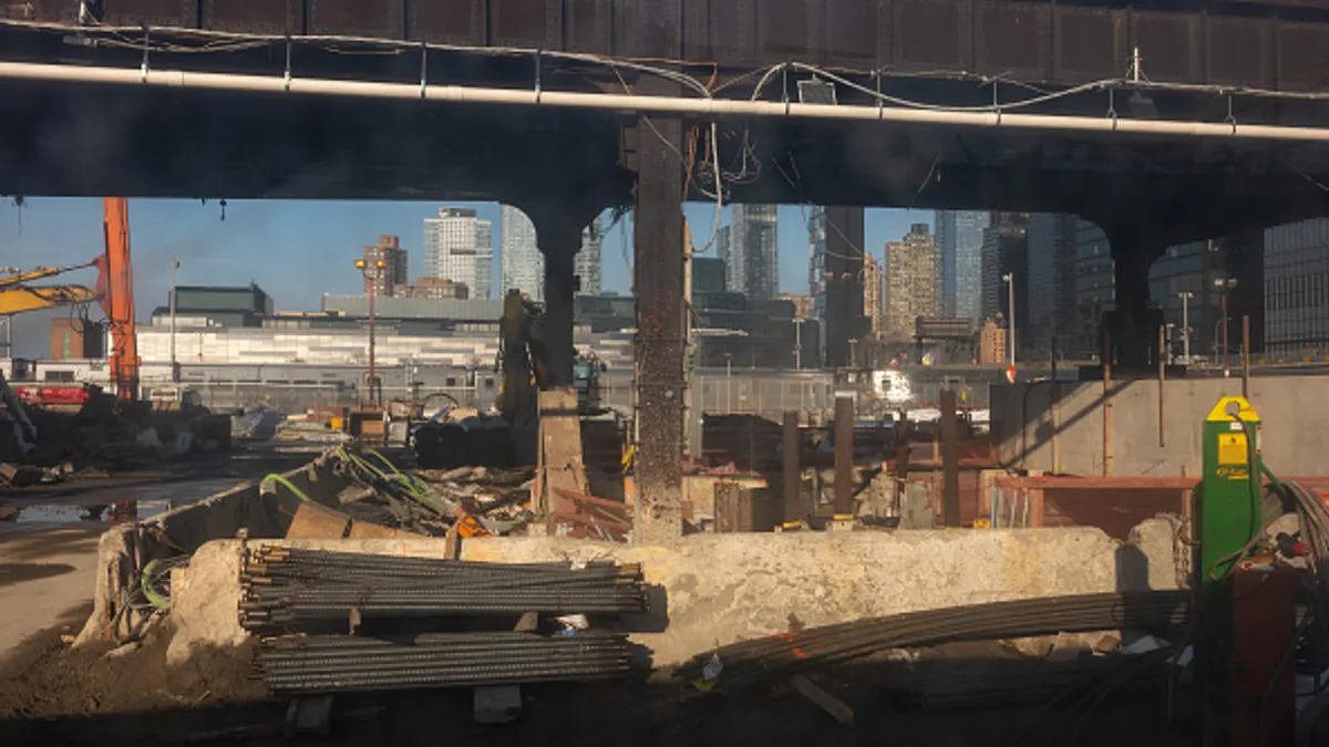
GeoAI enables project teams to compare drone imagery with design models to track construction progress automatically. For instance, AI algorithms can detect discrepancies between as-built and as-designed conditions, flagging potential issues early, before they lead to costly delays or rework. GeoAI is helping asset owners like DOTs and municipalities monitor the condition of infrastructure assets. By analyzing sensor data, maintenance records, and geospatial information, AI models can predict when a bridge or pavement section is likely to fail, enabling proactive maintenance and extending asset life cycles.
Ready to see how GeoAI can impact your next project?
Adopting GeoAI doesn’t mean starting from scratch. Many AEC teams are already using GIS tools that support AI capabilities. Watch the on-demand webinar to get started on GeoAI for your construction projects: http://go.esri.com/dive_geoai